Unlocking the Power of Remote Sensing of Environment: Transforming Data into Actionable Insights
In today’s rapidly evolving world, remote sensing of the environment has emerged as a critical tool in understanding and managing our planet’s natural resources. This technology has revolutionized the way scientists, researchers, and policymakers monitor environmental changes, assess natural disasters, and make informed decisions to protect ecosystems and human communities. As we delve into the various aspects of remote sensing, we uncover the immense potential it holds for shaping a sustainable future.
What is Remote Sensing of Environment?
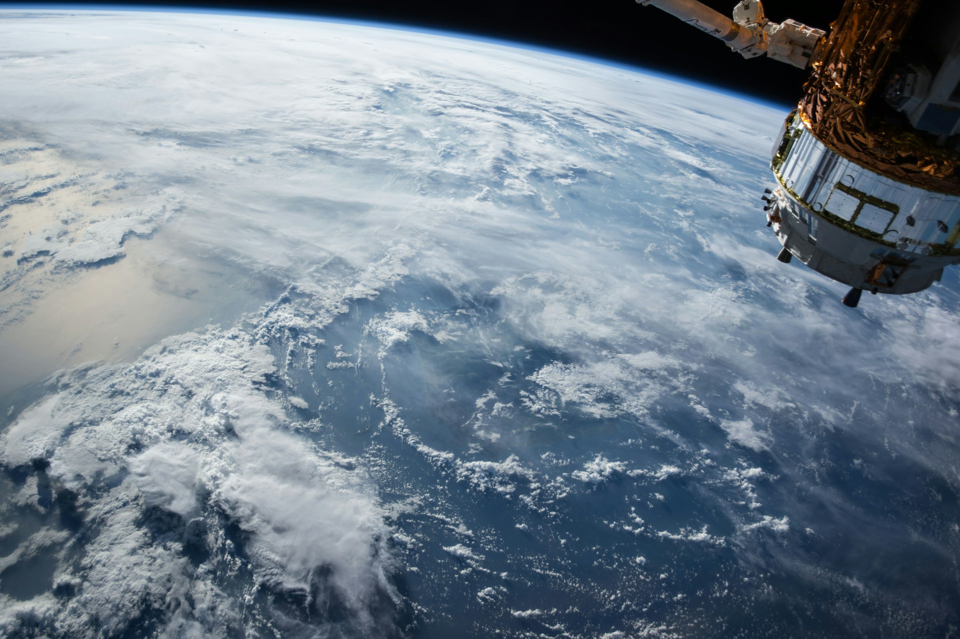
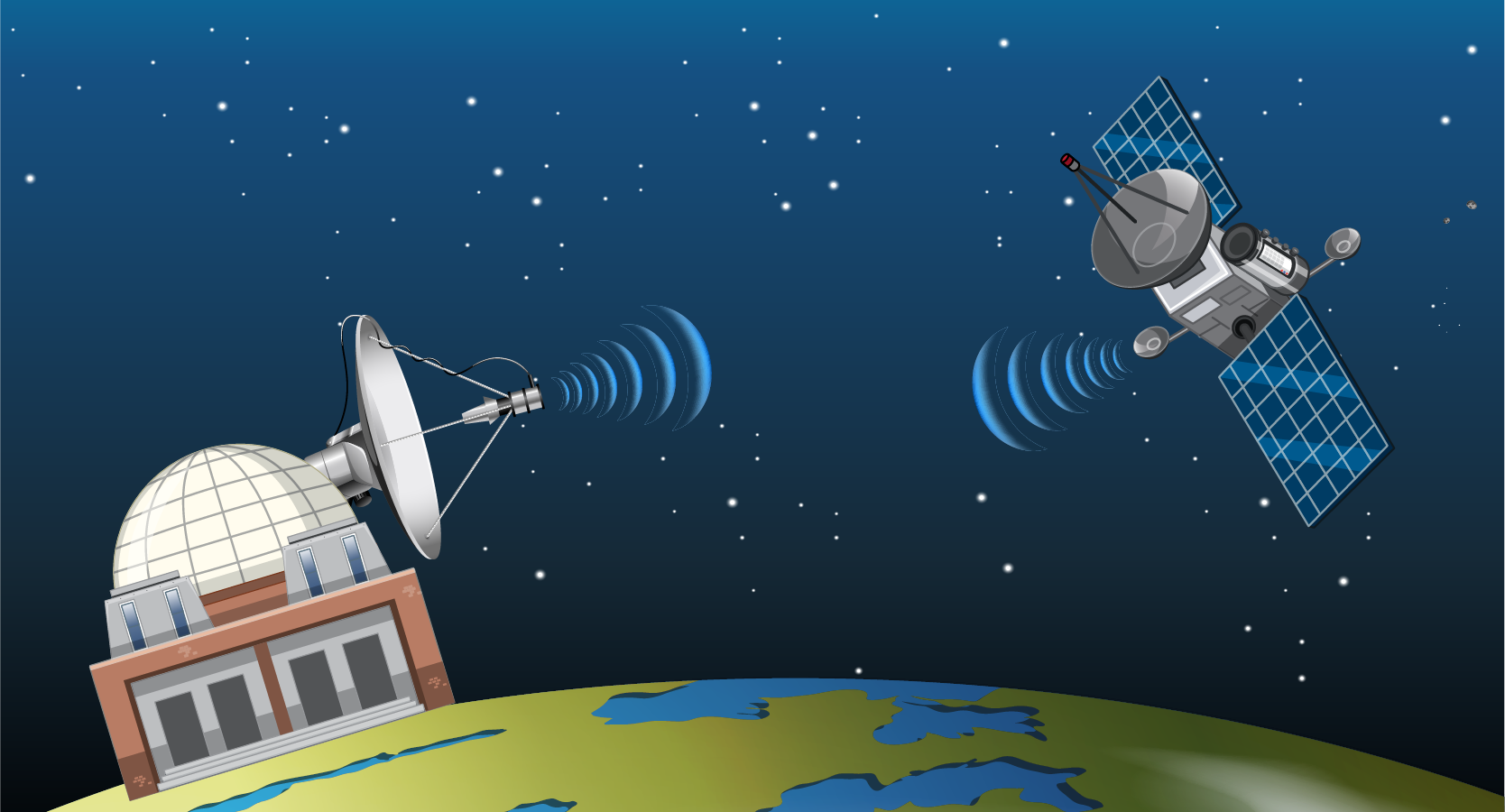
Remote sensing refers to the acquisition of information about an object or phenomenon without making physical contact with it. In the context of environmental studies, remote sensing involves the use of satellite or airborne sensors to collect data on Earth’s surface and atmosphere. These sensors capture images and other types of data, such as thermal radiation or electromagnetic waves, which are then processed to create detailed maps and models of environmental conditions.
Remote sensing technology has been instrumental in monitoring diverse environmental factors, including land use changes, deforestation, water quality, and climate patterns. By analyzing this data, scientists can gain valuable insights into the health of our environment and predict future trends.
Applications of Remote Sensing in Environmental Monitoring
The applications of remote sensing of the environment are vast and varied. Here are some key areas where this technology plays a pivotal role:
1. Climate Change Monitoring
Remote sensing is an essential tool for monitoring climate change. By tracking changes in temperature, sea levels, and ice cover, scientists can assess the impact of global warming on our planet. Satellite data allows for the continuous monitoring of these changes over large geographic areas, providing critical information for climate models and predictions.
For example, the use of remote sensing has enabled the detection of shrinking ice caps in the Arctic and Antarctic regions, providing evidence of the ongoing effects of climate change. This data is crucial for developing strategies to mitigate the impacts of climate change and protect vulnerable ecosystems.
2. Disaster Management and Risk Assessment
Natural disasters such as hurricanes, floods, and wildfires can have devastating effects on communities and ecosystems. Remote sensing provides real-time data that can be used to monitor these events and assess their impact. For instance, satellite imagery can track the path of a hurricane, allowing authorities to issue timely warnings and coordinate evacuation efforts.
In addition, remote sensing data can be used to assess the extent of damage caused by disasters and guide recovery efforts. For example, after a wildfire, satellite images can help identify areas that have been burned, allowing for targeted reforestation efforts.
3. Land Use and Land Cover Mapping
Understanding changes in land use and land cover is essential for managing natural resources and planning sustainable development. Remote sensing technology allows for the accurate mapping of land cover types, such as forests, agricultural fields, and urban areas. This information is crucial for monitoring deforestation, urban sprawl, and habitat loss.
Moreover, remote sensing data can be used to track changes in land use over time, providing insights into the impact of human activities on the environment. This data is invaluable for policymakers and conservationists working to protect natural habitats and promote sustainable land use practices.
4. Water Resource Management
Water is a precious resource, and effective management is essential for ensuring its availability for future generations. Remote sensing technology plays a key role in monitoring water resources, including rivers, lakes, and groundwater. By analyzing satellite data, scientists can assess water quality, track changes in water levels, and monitor the impact of human activities on water bodies.
For example, remote sensing can be used to detect algal blooms in lakes and oceans, which can have harmful effects on aquatic life and human health. Early detection of these blooms allows for timely intervention to mitigate their impact.

The Future of Remote Sensing of Environment
As technology continues to advance, the potential applications of remote sensing of the environment are expanding. Here are some exciting developments on the horizon:
1. High-Resolution Imaging
Advancements in satellite technology are enabling the capture of high-resolution images, providing even more detailed information about the Earth’s surface. This level of detail is particularly useful for monitoring small-scale environmental changes, such as deforestation in specific areas or the growth of urban regions.
High-resolution images can also improve the accuracy of environmental models, leading to better predictions and more effective management strategies.
2. Integration with AI and Machine Learning
The integration of remote sensing data with artificial intelligence (AI) and machine learning is opening up new possibilities for environmental monitoring. These technologies can analyze vast amounts of remote sensing data quickly and accurately, identifying patterns and trends that may not be apparent to human analysts.
For instance, machine learning algorithms can be used to detect changes in land cover over time, predict the spread of wildfires, or assess the health of forests. This automation of data analysis can lead to more efficient and timely decision-making.
3. Crowdsourced Data Collection
In addition to satellite and airborne sensors, crowdsourced data collection is becoming an increasingly important aspect of remote sensing. By engaging local communities in data collection efforts, researchers can gather ground-level information that complements remote sensing data.
For example, citizens can use smartphone apps to report environmental changes in their area, such as pollution or deforestation. This data can then be integrated with satellite images to provide a more comprehensive view of environmental conditions.
The remote sensing of the environment is a powerful tool that has transformed the way we monitor and manage our planet’s natural resources. From climate change monitoring to disaster management, this technology provides critical insights that are essential for protecting ecosystems and ensuring a sustainable future.
As advancements in technology continue to unfold, the potential for remote sensing in environmental monitoring is boundless. By leveraging high-resolution imaging, AI, and crowdsourced data collection, we can unlock new opportunities for understanding and addressing the environmental challenges of our time.
In a world where environmental sustainability is more important than ever, the remote sensing of the environment is not just a tool—it’s a necessity for informed decision-making and proactive environmental stewardship.


